Hike Sierra Nevada Spain – Nature Walks and Mountain Hikes
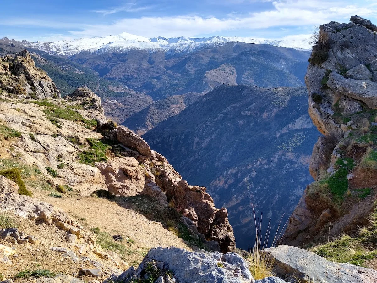
Monachil, Sierra Nevada
The Sierra Nevada, designated a UNESCO Biosphere Reserve and spanning over 85,000 hectares, is the highest mountain range in Western Europe after the Alps. Its snow-capped peaks dominate the horizon above Granada and stretch across the provinces of Granada and Almería. The range's immense altitudinal variation — from around 300 metres in the foothills to 3,479 metres at Mulhacén — creates extraordinary ecological diversity, hosting over 2,100 plant species, 66 of which are endemic to the region. The national park is crisscrossed by a dense network of trails, making it one of Spain's premier hiking destinations for both day walkers and multi-day trekkers.
The most ambitious hike in the range is the ascent of Mulhacén, the highest peak in mainland Spain. A typical route from the Hoya de la Mora car park (accessible from the Sierra Nevada ski resort via the A-395 road) covers about 14 to 20 kilometres round trip with an elevation gain of roughly 1,100 metres. The trail passes the Poqueira Lagoon and the Hormatín peak before reaching the summit. For those seeking a slightly shorter but equally dramatic walk, the ascent of Veleta (3,396 m) from Hoya de la Mora is about 12 kilometres round trip and offers extraordinary sunrise views. At lower elevations, the trails around the Alpujarras villages — Capileira, Bubión, and Pampaneira — pass through terraced farmlands, chestnut forests, and ancient irrigation channels built during the Moorish period.
Wildlife encounters are a highlight of any Sierra Nevada hike. The Spanish ibex (Capra pyrenaica) is commonly seen on rocky slopes above 2,000 metres, while griffon and golden eagles patrol the thermals. Alpine choughs and snow finches work the high ridges. Spring and early summer bring an explosion of wildflowers, including the endangered Sierra Nevada violet and numerous species of saxifrage. The best months for hiking are June through September when the high passes are free of snow — though even in July, patches of snow can linger in north-facing gullies. Walkers should carry plenty of water, sun protection, and warm layers, as the weather can change rapidly above 2,500 metres regardless of the season.
Highlights
- One of Europe's highest mountain ranges with trails reaching Mulhacén (3,479 m), the highest peak in mainland Spain
- Rich wildlife including Spanish ibex, golden eagles, and alpine choughs
- Diverse terrain from Mediterranean forest and chestnut groves to high-altitude alpine landscapes
- Spectacular views stretching across Granada province and, on clear days, the Mediterranean coast of Africa
- Network of well-marked GR-7, GR-240 (Sulayr) and PR trails crossing the national park
- Access from the Alpujarras villages with their distinctive Moorish architecture and whitewashed houses
Features
More hiking in Spain
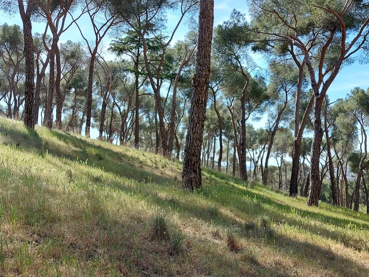
Alto del Mojón
Alto del Mojón is a satisfying hiking destination within easy reach of M…
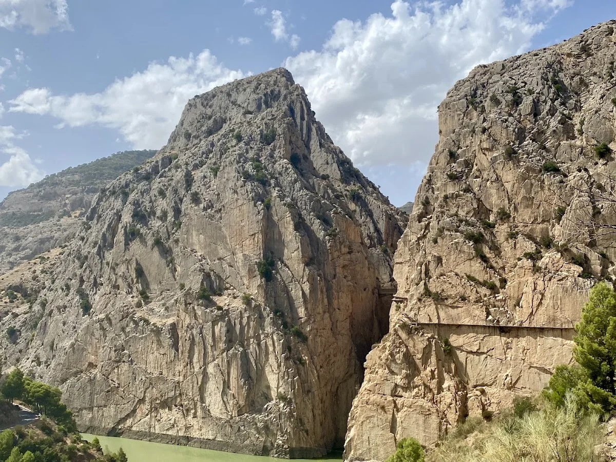
Caminito del Rey – North Access
El Caminito del Rey (The King's Little Path) is one of Spain's most icon…
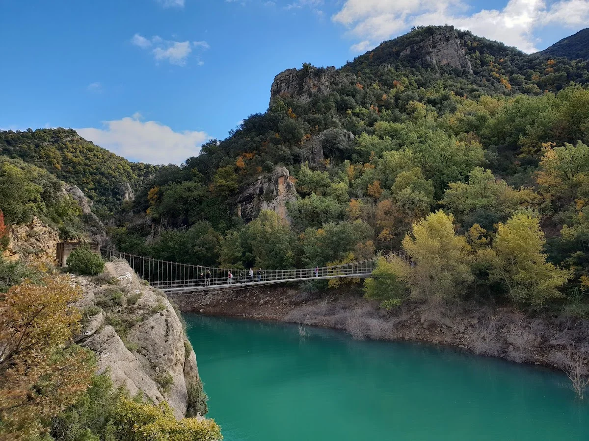
Congost de Mont-rebei
Congost de Mont-rebei is one of the most breathtaking canyon reserves in…