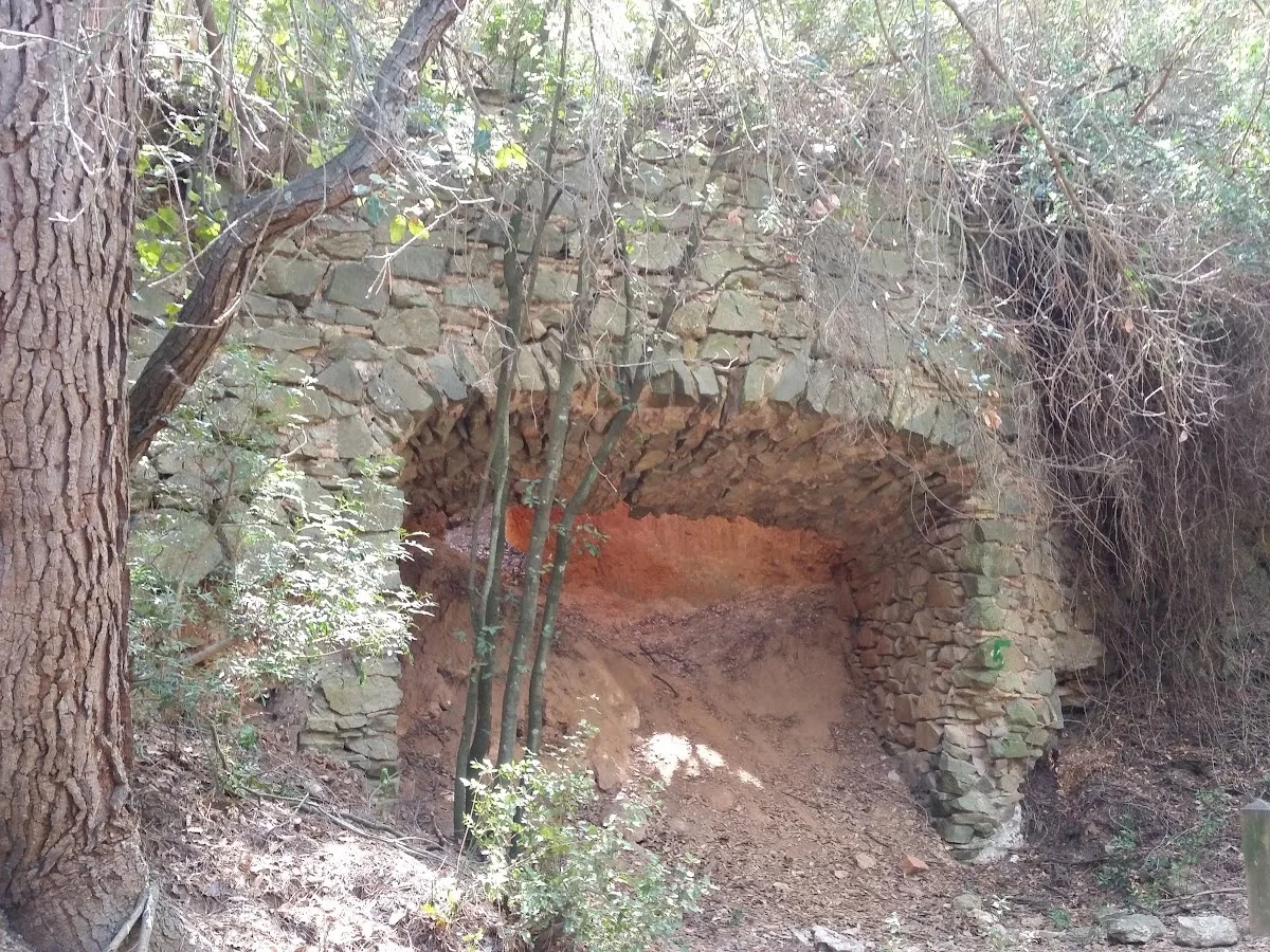
Fornot de les Torres
Sant Feliu de Llobregat, Barcelona
Fornot de les Torres is a delightful hiking area nestled within the Collserola mountain range, just a short distance from the heart of Barcelona. Accessed from the town of Sant Feliu de Llobregat, this network of trails winds through Mediterranean woodland dominated by Aleppo pines and holm oaks. The name refers to the scattered historic towers (torres) that dot the ridge, remnants of the area's medieval watchtowers and 19th-century country estates. The easy accessibility from the city makes it a favourite for locals seeking a quick escape into nature.
The main loop trail climbs gently through shaded forest before opening onto sunlit ridgelines with sweeping views over the Barcelona plain, the Llobregat River delta, and on clear days, the Mediterranean Sea stretching to the horizon. Along the way you will pass the remains of old stone towers, their walls half-swallowed by ivy and scrub. Interpretive panels explain the history of the Collserola massif, from its role as a strategic lookout during the Middle Ages to its modern status as a protected natural park.
With a round trip of around 4 kilometres and modest elevation gain, Fornot de les Torres is ideal for a half-day outing suitable for hikers of all levels. The trails are well-marked and popular with families, trail runners, and dog walkers. Combine your hike with a visit to the nearby Sant Feliu observatory or a picnic at one of the designated rest areas. It is a perfect introduction to the Collserola range without straying far from Barcelona's urban comforts.
Highlights
- Hiking area in the Collserola mountain range near Barcelona
- Mediterranean forest with pines and oaks
- Panoramic views over Barcelona and the Mediterranean coast
- Historic towers and ruins along the route
- Easy access from Barcelona by public transport
- Family-friendly trail options
Features
More hiking in Spain
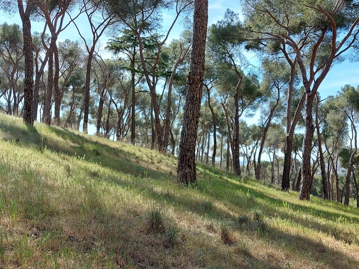
Alto del Mojón
Alto del Mojón is a satisfying hiking destination within easy reach of M…
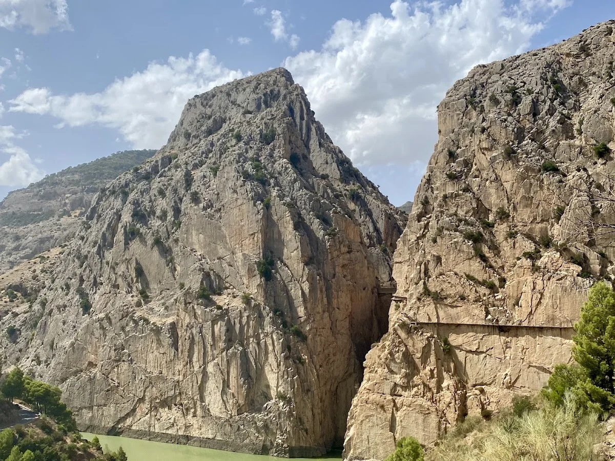
Caminito del Rey – North Access
El Caminito del Rey (The King's Little Path) is one of Spain's most icon…
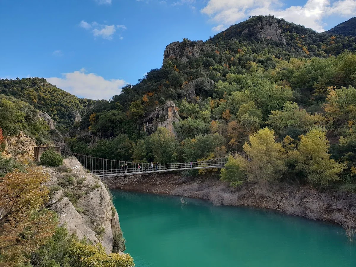
Congost de Mont-rebei
Congost de Mont-rebei is one of the most breathtaking canyon reserves in…