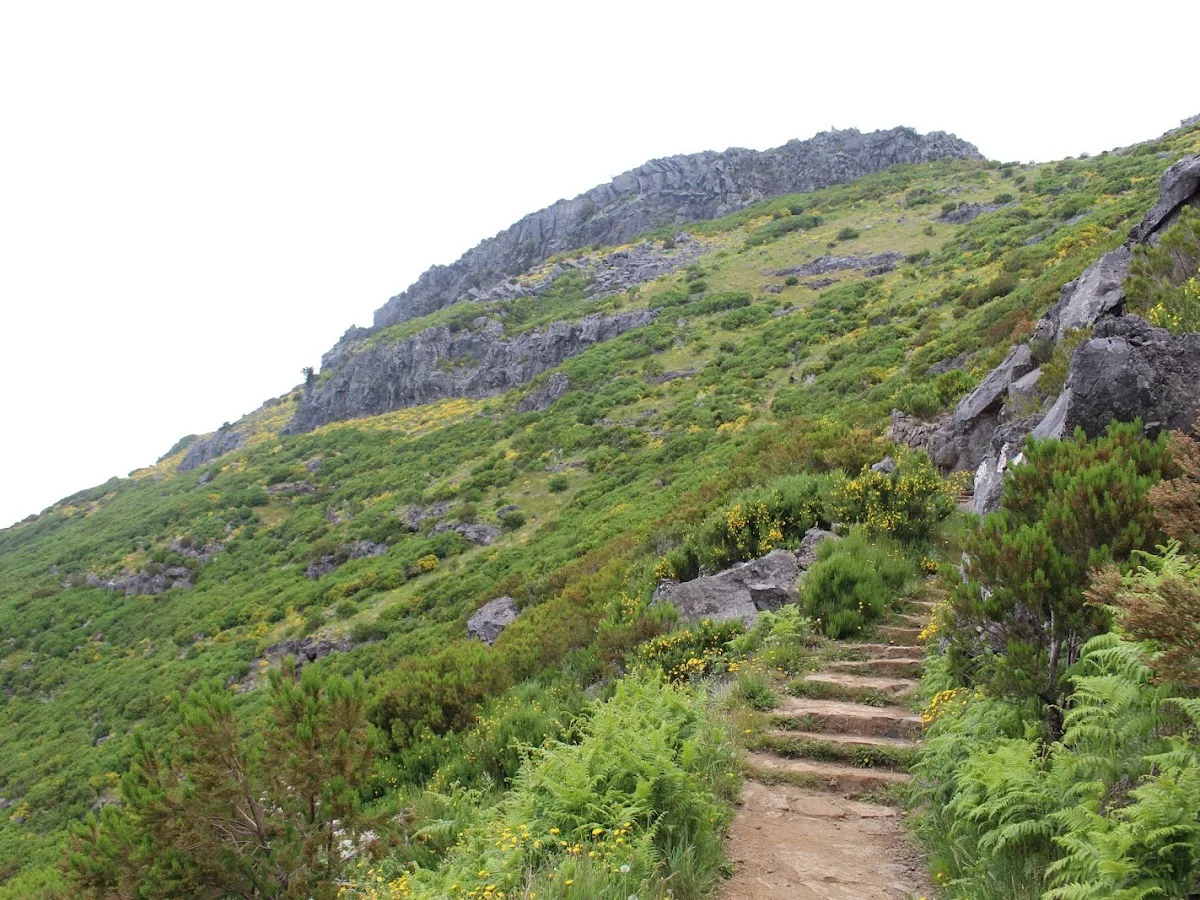
PR 1.2 Vereda do Pico Ruivo
Madeira
The PR 1.2 Vereda do Pico Ruivo is Madeira's most iconic summit hike, ascending to the island's highest point at 1,862 metres. Starting from the Achada do Teixeira car park, the trail climbs steadily through a dramatic landscape of volcanic rock formations, eroded ridges and deep glacial-style valleys carved into the mountain's flanks. The path is well-maintained with stone steps and handrails in exposed sections, but the altitude and steep grades demand reasonable fitness.
The summit of Pico Ruivo offers breathtaking 360-degree views that, on a clear day, stretch across the entire island — from the jagged central massif to the northern cliffs of São Vicente and the southern coast around Funchal. The sensation of standing above a sea of clouds is common in summer, when the trade winds trap moisture below the mountaintop, creating an ethereal floating-island effect. Sunrise and sunset are particularly magical, with the changing light painting the volcanic rock in shades of red, gold and violet.
A network of tunnels, blasted through the mountain in the mid-20th century, adds a unique character to the route. These cool, dark passageways punctuate the otherwise exposed trail and provide welcome shade on hot days. The more ambitious can combine this trail with the PR 1 Vereda do Areeiro for one of the best ridge traverses in Europe. Sturdy footwear, warm clothing and plenty of water are essential — the summit is often windy and cool even in summer.
Highlights
- Summit of Madeira's highest peak at 1,862 metres above sea level
- Panoramic views across the entire island and the Atlantic horizon
- Dramatic volcanic landscapes with sharp ridges and deep ravines
- Sunrise and sunset hikes for spectacular colour shows above the clouds
- Tunnels carved through the mountain, remnants of former access routes
- Connects to PR 1 Vereda do Areeiro for an epic ridge traverse
Features
More hiking in Portugal
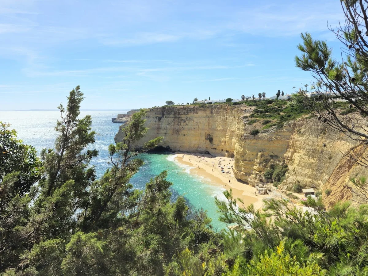
7 Valleys Hike
The 7 Valleys Hike is the Algarve's quintessential coastal walking exper…
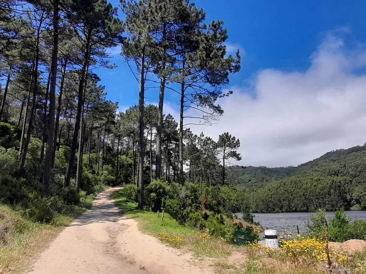
Barragem do Rio da Mula
Barragem do Rio da Mula is a small reservoir tucked into the forested hi…
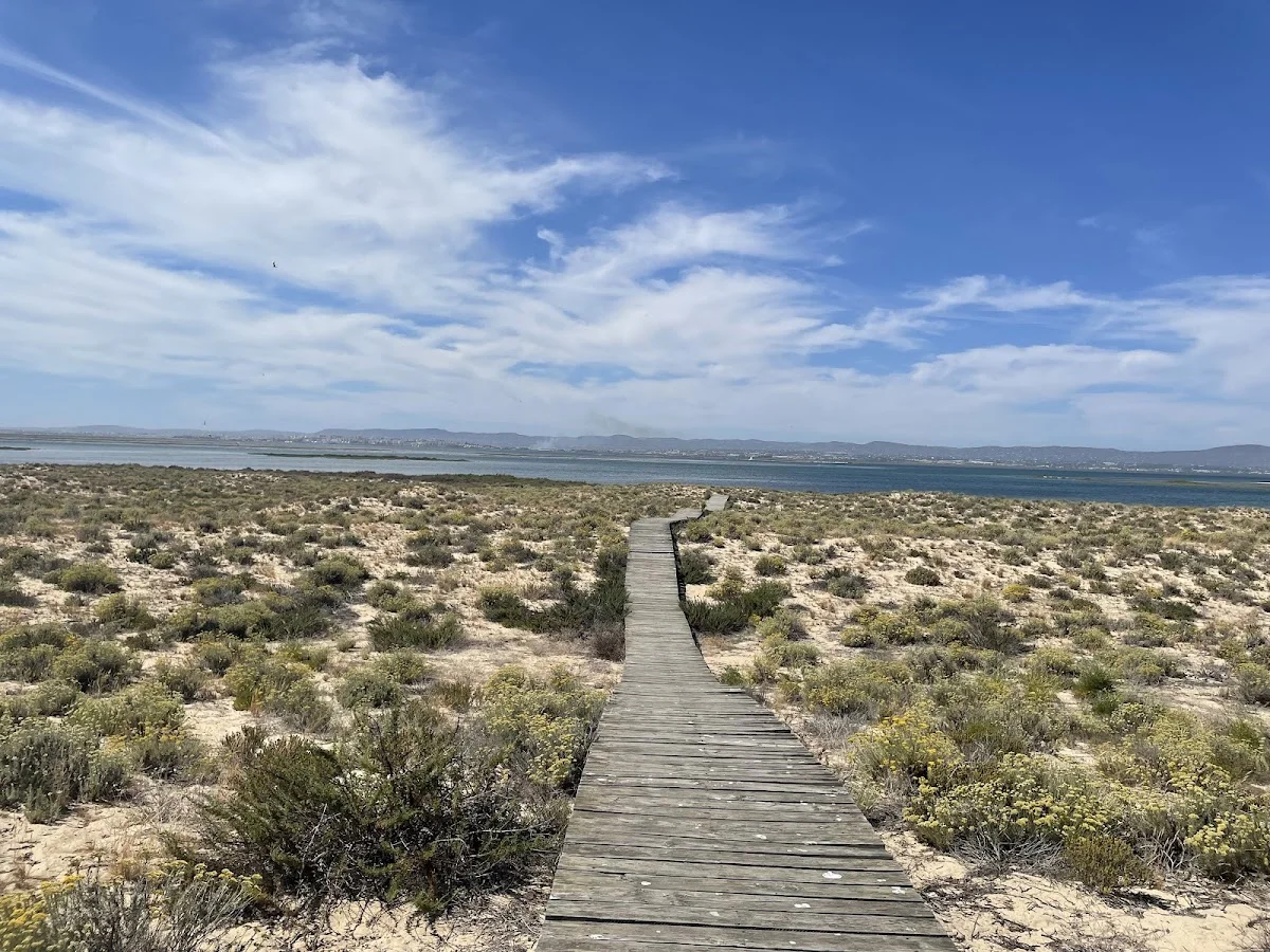
Boardwalk
The Ria Formosa Boardwalk is a beautifully constructed wooden walkway th…