Passadiços do Paiva Trailhead (Areinho)
Arouca, Aveiro
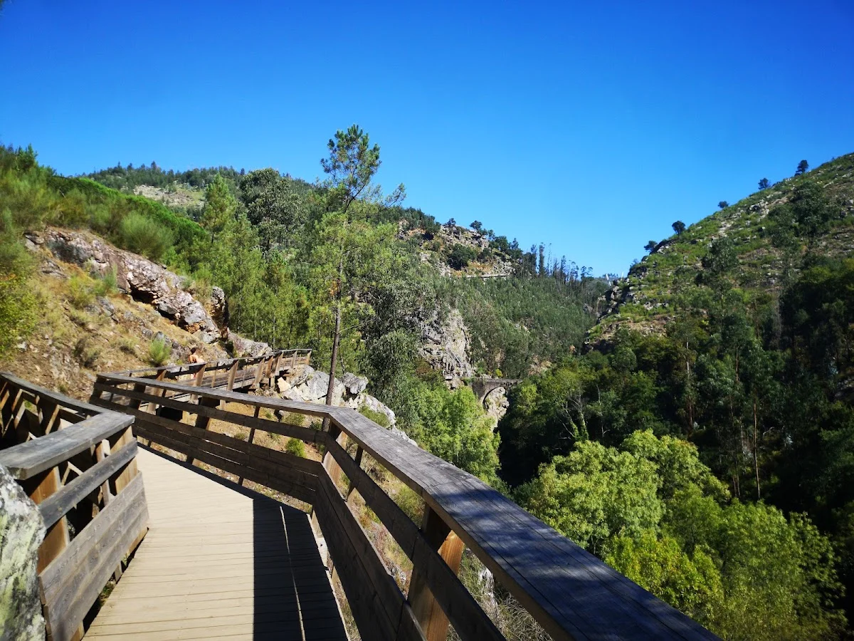
The Passadiços do Paiva are one of Portugal's most celebrated hiking experiences, a masterfully engineered boardwalk that hugs the vertical walls of the Paiva River gorge in the Arouca Geopark. Starting from the Areinho trailhead, the walkway descends through lush riverside forest before tracking the dramatic gorge for nearly nine kilometres. The wooden path is suspended above the crystalline river, with sections bolted directly into the schist cliffs, offering vertiginous views down into the clear pools below.
Midway along the route, the trail reaches the 516 Arouca suspension bridge — at 516 metres, one of the longest pedestrian suspension bridges in the world. Crossing the bridge is a thrill in itself: the deck sways gently as you walk, and the view 175 metres down into the gorge is unforgettable. Beyond the bridge, the boardwalk continues past natural swimming spots, small waterfalls and intriguing rock formations that are part of the geopark's geological heritage, including ancient petroglyphs carved into the valley walls.
The walk is point-to-point — most hikers start at Areinho and finish at Espiunca, where a shuttle bus returns them to the start. Advance ticket booking is essential, especially in summer, as daily visitor numbers are capped to protect the sensitive environment. Allow three to four hours for the full traverse, plus extra time for swimming in the river's emerald pools. The best conditions are in late spring or early autumn, when the water is flowing and the temperatures are comfortable.
Highlights
- Award-winning wooden walkway suspended along the wild Paiva River gorge
- The dramatic 516 Arouca suspension bridge, one of the world's longest
- Crystalline natural pools and small waterfalls along the river
- Prehistoric rock carvings visible from the boardwalk in several places
- Lush riparian forest with ferns, mosses and endemic flora
- Ticketed entry ensures the trail is never overcrowded
Features
More hiking in Portugal
7 Valleys Hike
The 7 Valleys Hike is the Algarve's quintessential coastal walking exper…
Barragem do Rio da Mula
Barragem do Rio da Mula is a small reservoir tucked into the forested hi…
Boardwalk
The Ria Formosa Boardwalk is a beautifully constructed wooden walkway th…