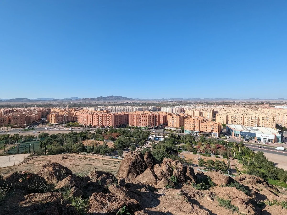
Marrakech Hills
Marrakech
The Marrakech Hills — the low, undulating ridges that separate the city from the first real rises of the High Atlas — offer a convenient and rewarding hiking option for anyone based in the Red City. These are not the dramatic gorges or high passes of the Atlas proper, but rather a pastoral landscape of olive terraces, almond orchards, and small farms connected by a network of ancient footpaths and dirt tracks. On a clear day the views are spectacular: Marrakech laid out below, the Koutoubia minaret visible in the haze, and the snow-capped Atlas stretching across the entire southern horizon.
Several routes exist, most starting from the outskirts of town near the road to Asni or the Ourika Valley. The terrain is gentle, with modest elevation gains rarely exceeding 200 metres, making these trails ideal for a morning or late-afternoon walk. The paths pass through working farmland where donkeys carry harvest loads and farmers tend irrigation channels. In spring the almond trees blossom in pink and white, and in autumn the olive harvest brings activity to every grove. Birdlife includes hoopoes, bee-eaters, and migratory storks.
The hills are also popular with trail runners and cyclists, who appreciate the firm dirt surfaces and lack of motor traffic. Go at sunset to watch the Atlas peaks turn pink and purple before the city lights begin to twinkle below. There are no marked trailheads or official parking — local guides or a GPS track are helpful for first-timers. Combine a morning in the hills with a visit to the nearby Jardin Majorelle or the Saadian Tombs for a Marrakech day that balances nature with culture.
Highlights
- Accessible hiking on the rolling hills surrounding Marrakech
- Panoramic views of the city, the Haouz plain, and the High Atlas beyond
- Olive groves, almond orchards, and countryside dotted with farmhouses
- Quick escape from the medina — less than 30 minutes from Jemaa el-Fna
- Suitable for sunset walks, trail running, and birdwatching
- Family-friendly terrain with gentle gradients and clear paths
Features
More hiking in Morocco

Ammeln Valley
The Ammeln Valley (Vallée d'Ammeln) is a hidden gem in Morocco's Anti-At…
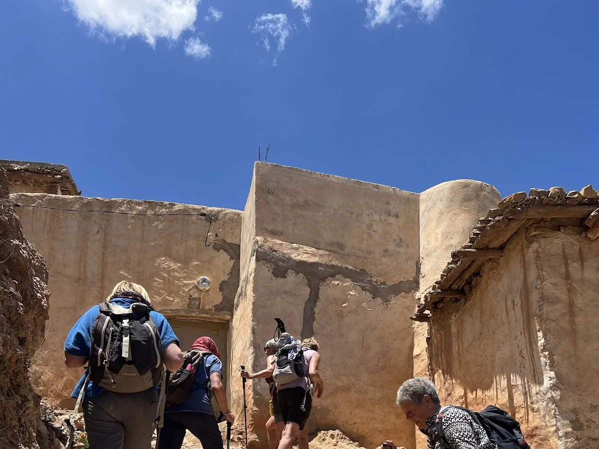
Berbere Hiking
Berbere Hiking operates in the coastal and pre-mountain terrain around A…
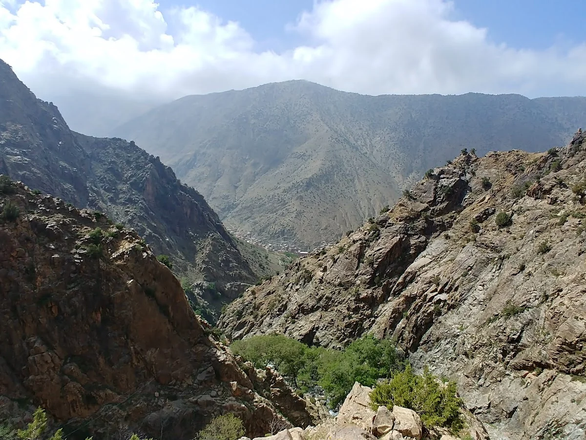
Cascades Ourika
Cascades Ourika is the most accessible and popular hiking destination in…