Vereda do Larano
Madeira, Machico
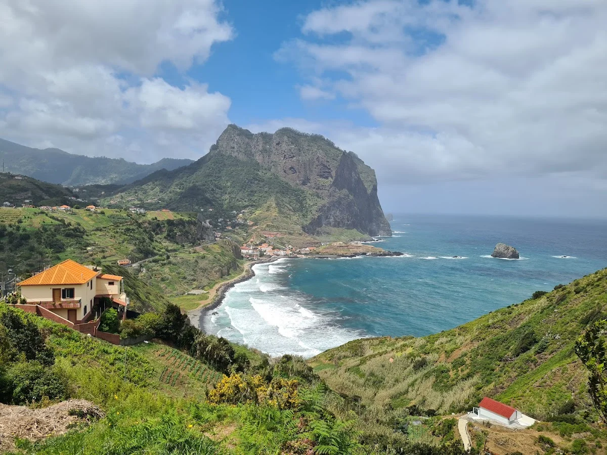
The Vereda do Larano is one of Madeira's most dramatic and exposed coastal trails, following an old levada — a stone irrigation channel — along the island's rugged north-east coast between Machico and Porto da Cruz. The path is carved into the side of steep sea cliffs, with the Atlantic Ocean churning hundreds of metres below and the mountain slopes of the Paul da Serra rising above. It is a trail of constant contrasts: the cool, damp shade of laurel and heather forest gives way to open sections where the full force of the trade winds and the vast blue horizon demand your attention.
The levada itself is the trail's guiding thread, a narrow channel of clear water that has been diverted from the interior mountains to irrigate the terraced farmlands below. The path passes through several short tunnels blasted through volcanic rock — dark, cool passages that suddenly open back onto dizzying cliff-edge views. On clear days the Desertas Islands are visible on the southern horizon, a protected nature reserve home to the Mediterranean monk seal.
The Vereda do Larano is not for the faint of heart — the trail is narrow in places, with some sections exposed and unfenced, and the total elevation gain of around 500 metres requires a solid fitness level. Allow three to four hours for the one-way walk and arrange transport from Porto da Cruz back to Machico. It is widely considered one of Madeira's most rewarding and authentic levada experiences, far from the crowds of the more popular routes.
Höhepunkte
- Klassische Levada-Wanderung an der Ostküste Madeiras
- Spektakuläre Ausblicke auf das Meer und die Steilküste
- Tunnel, die in den Fels gehauen wurden, mit integrierten Fenstern
- Üppige Lorbeerwälder und endemische Flora
- Führt zum malerischen Dorf Porto da Cruz
- Ruhige, wenig frequentierte Route
Besonderheiten
Weitere wandern in Portugal
7 Valleys Hike
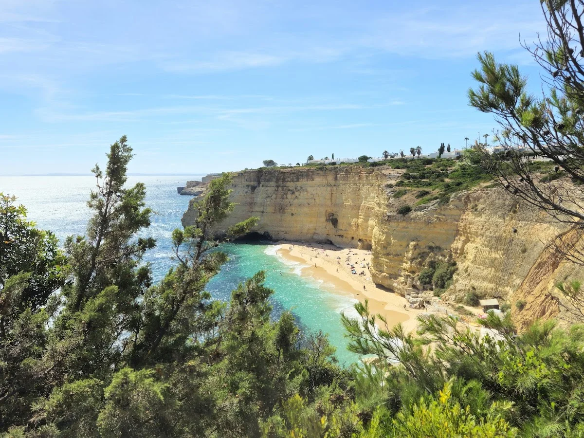
The 7 Valleys Hike is the Algarve's quintessential coastal walking exper…
Barragem do Rio da Mula
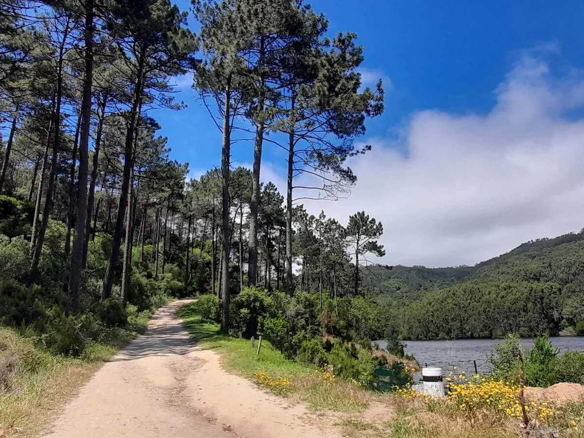
Barragem do Rio da Mula is a small reservoir tucked into the forested hi…
Boardwalk
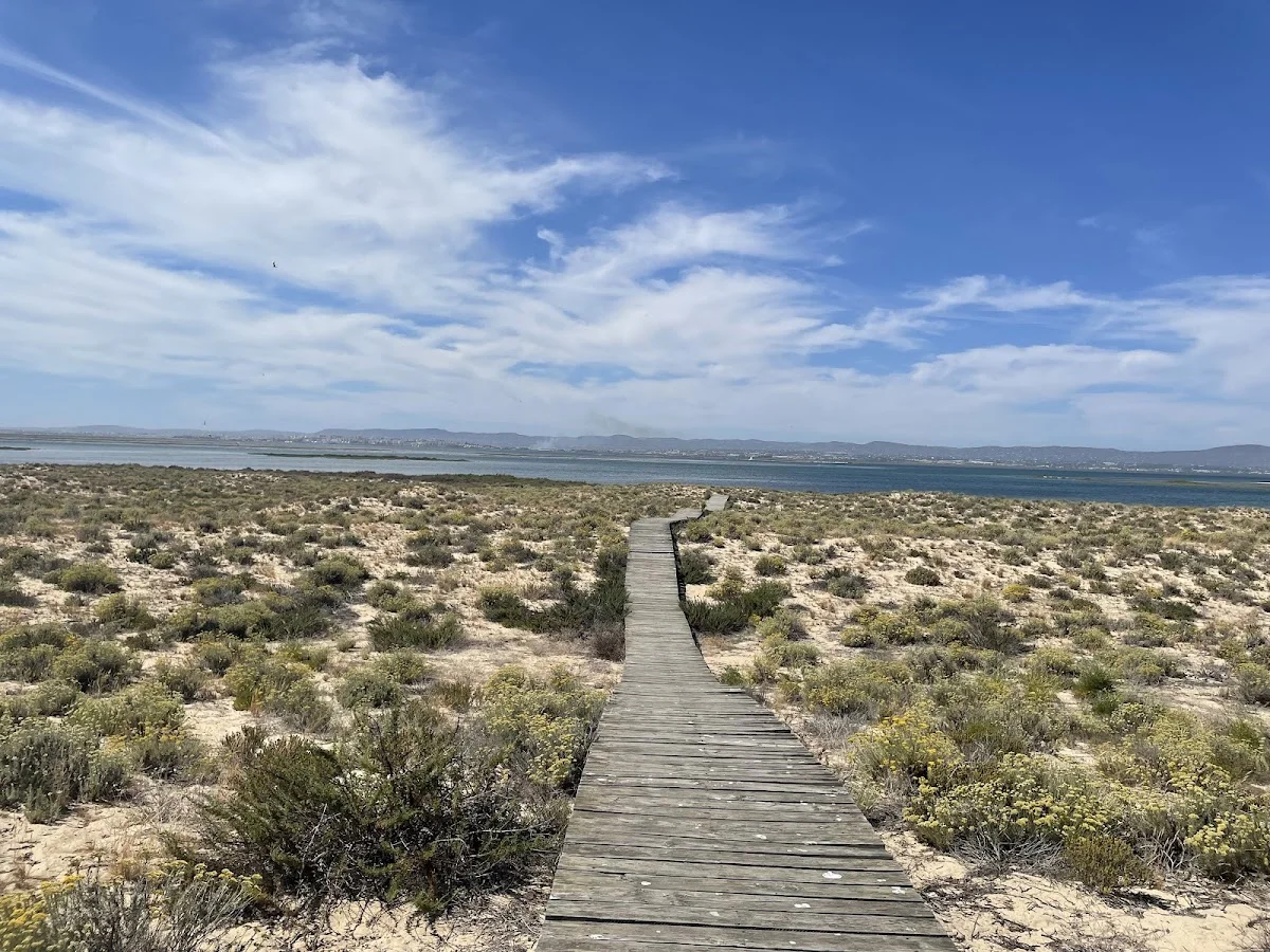
The Ria Formosa Boardwalk is a beautifully constructed wooden walkway th…