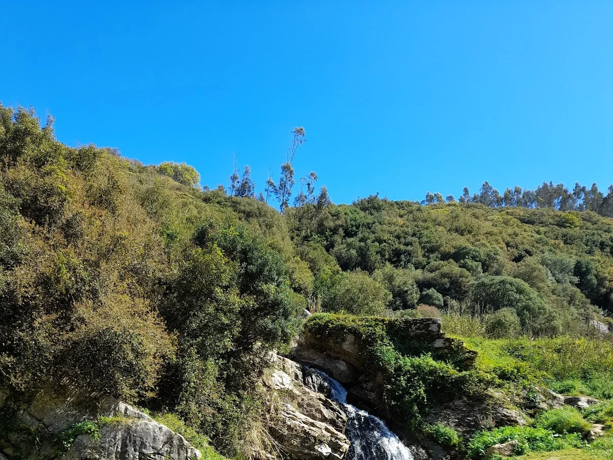
Vale Cornaga
Madeira, Caniçal
Vale Cornaga is a hidden gem in the Serra d'El-Rei, a low but rugged range of hills that separates the Peniche peninsula from the interior of the Estremadura region. The trail loops through the valley's traditional agricultural landscape, where centuries-old dry-stone terraces climb the hillsides and small family farms cultivate olives, vines and vegetables in the fertile bottomland. The rural quiet here is profound — a stark contrast to the surf crowds and beach resorts of nearby Peniche.
The trail climbs gently out of the valley onto the ridges of the Serra d'El-Rei, where the Mediterranean scrub gives way to sweeping views. On a clear day, the Berlengas archipelago rises from the Atlantic to the west, while the Berlenga Grande island's fort and lighthouse are visible with binoculars. The hillsides are fragrant with rockrose (esteva), lavender and wild thyme, and the birdlife is excellent — booted eagles and common kestrels patrol the thermals, while stonechats and Sardinian warblers flit through the bushes.
Vale Cornaga is best explored between October and May, when the temperatures are mild and the scrub is green. Summer can be hot and exposed on the upper slopes, though the valley floor retains some shade. The loop configuration means there is no need for shuttle logistics, making it an easy and rewarding addition to a visit to the Óbidos lagoon or the Peniche coast.
Höhepunkte
- Wanderung durch das abgelegene Tal Vale Cornaga auf Madeira
- Spektakuläre Klippenausblicke auf die Südküste
- Üppige subtropische Vegetation und endemische Pflanzen
- Ruhige, einsame Route mit wenig Touristen
- Historische Bewässerungskanäle (Levadas) entlang des Weges
- Fantastische Vogelbeobachtung, darunter der Madeira-Brillenvogel
Besonderheiten
Weitere wandern in Portugal
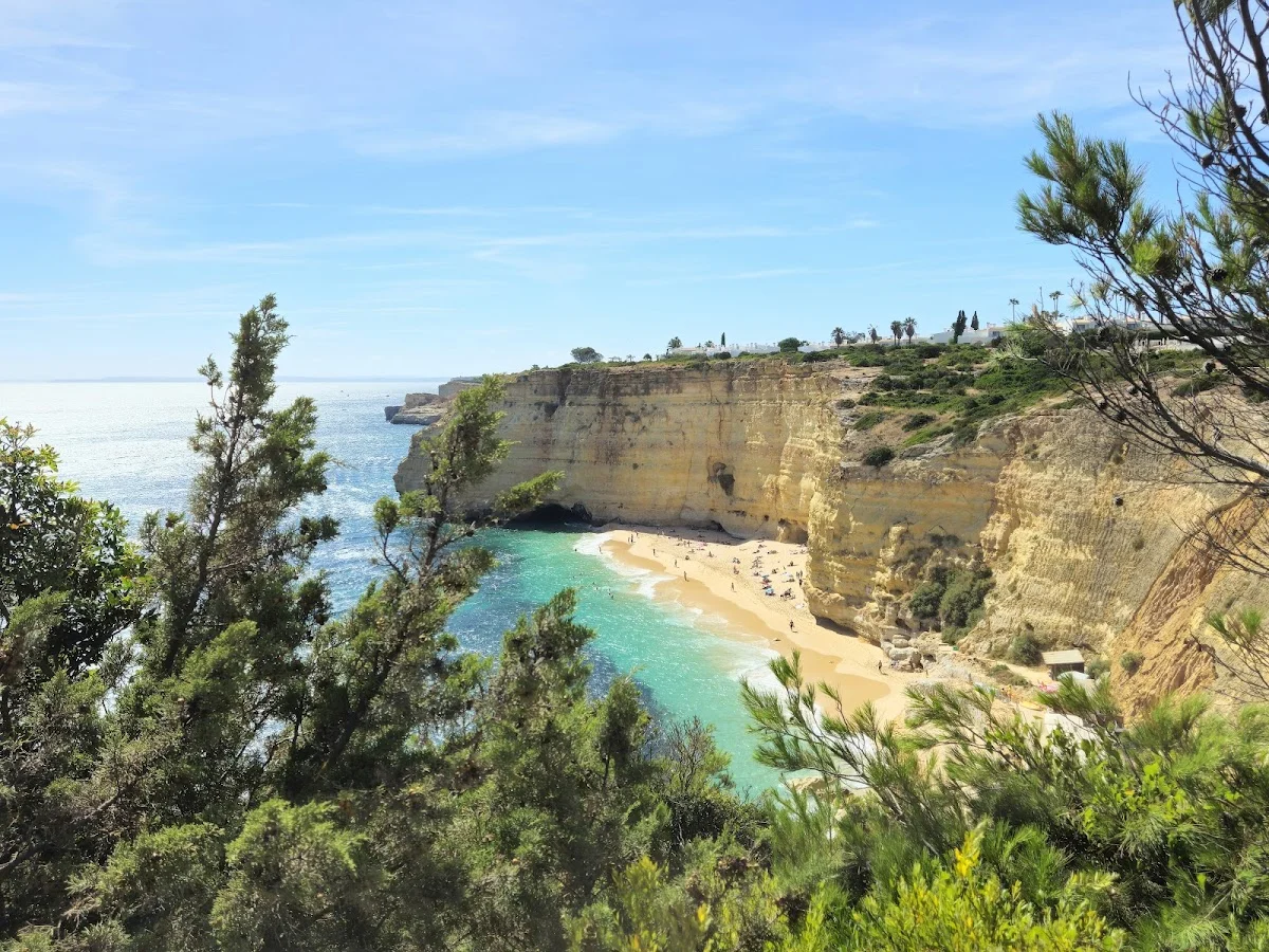
7 Valleys Hike
The 7 Valleys Hike is the Algarve's quintessential coastal walking exper…
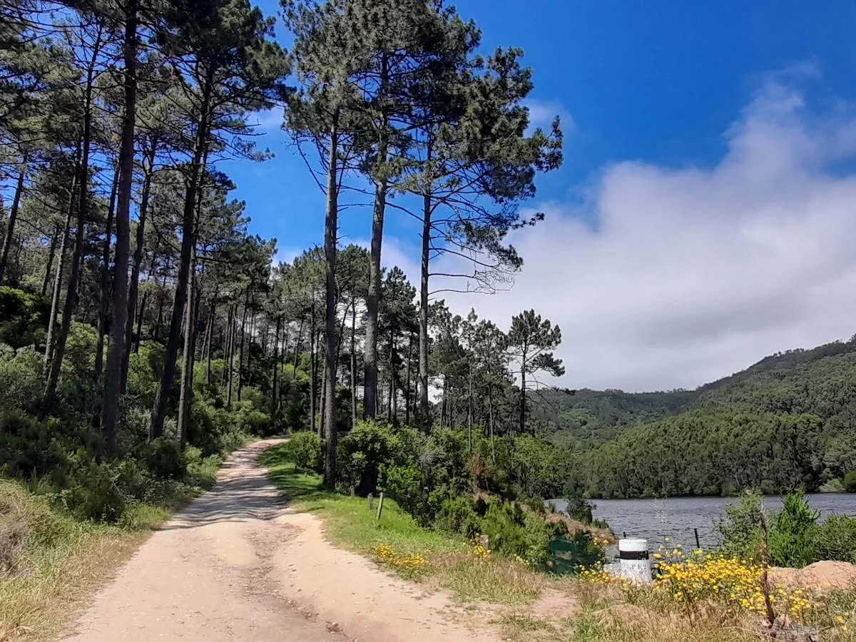
Barragem do Rio da Mula
Barragem do Rio da Mula is a small reservoir tucked into the forested hi…
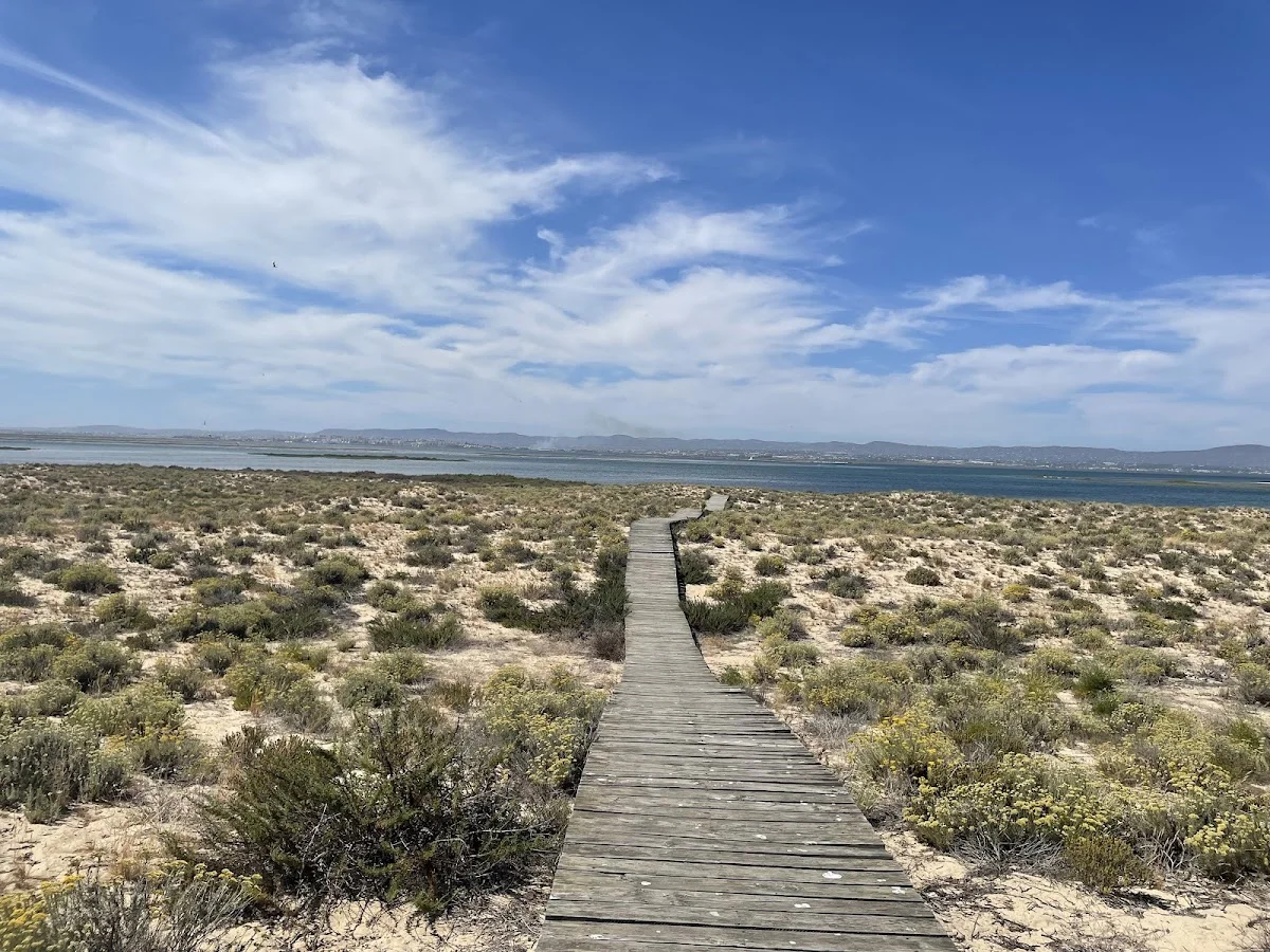
Boardwalk
The Ria Formosa Boardwalk is a beautifully constructed wooden walkway th…