PR6 25 Fontes Hike & Levada do Risco
Madeira, Paul da Serra
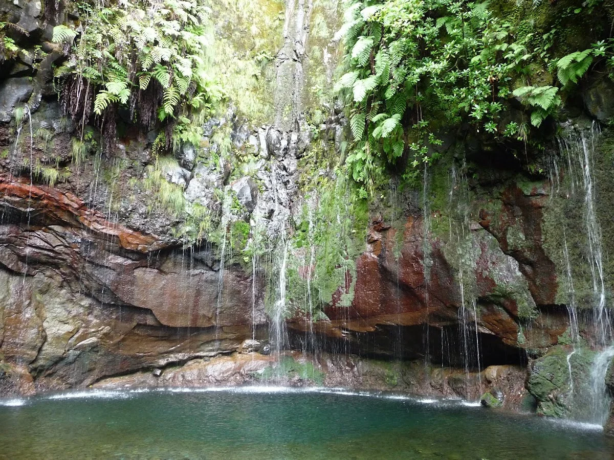
The PR6 25 Fontes (25 Fountains) hike is one of Madeira's most celebrated levada walks, threading through the island's primeval laurissilva forest — a misty, moss-draped subtropical woodland that is a UNESCO World Heritage site. The trail begins at the Rabaçal picnic area and follows the Levada do Risco deep into the mountainous interior, with the constant sound of rushing water accompanying every step. The dense canopy of tree heath, Madeira mahogany and ancient laurels filters the light into a soft green glow.
The route's two grand rewards come in succession. First, the Risco Waterfall plunges 100 metres from a cliff overhang into a rocky pool below — a breathtaking sight that is best viewed from the wooden platform built opposite it. Continuing deeper along the levada, the trail opens onto the 25 Fountains, where water seeps from multiple fissures in a broad rock face and cascades down in delicate streams into a crystalline pool. The effect is mesmerising, especially after rainfall when the flow is at its peak.
The hike involves some steep sections and uneven, occasionally slippery ground. Proper footwear is essential, as the levada path can be narrow and wet. A shuttle bus from the Paul da Serra road connects to the Rabaçal start, and most walkers complete the route in three to four hours. The combination of endemic forest, historic irrigation channels and dramatic waterfalls makes this an unmissable Madeiran experience.
Höhepunkte
- Klassische Levada-Wanderung auf Madeira mit 25 Quellen
- Wasserfall Risco – ein 100 m hoher Kaskade, der in einen Bergsee stürzt
- Üppige Lorbeerwälder, ein UNESCO-Weltnaturerbe
- Zahlreiche Bäche, Kanäle und Wasserbecken entlang der Strecke
- Reiche Vogelwelt, darunter der Madeira-Brillenvogel
- Kühle, schattige Wanderung – ideal an heißen Tagen
Besonderheiten
Weitere wandern in Portugal
7 Valleys Hike
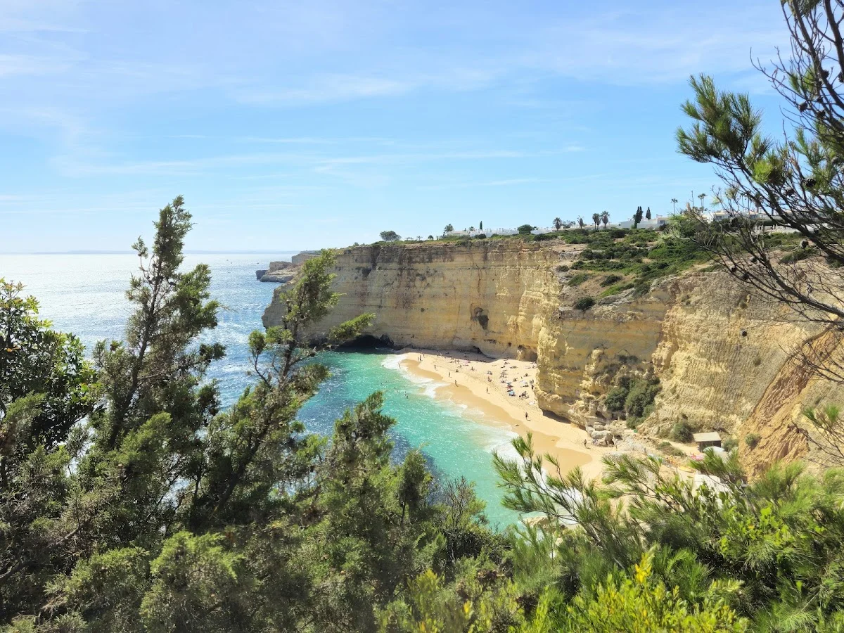
The 7 Valleys Hike is the Algarve's quintessential coastal walking exper…
Barragem do Rio da Mula
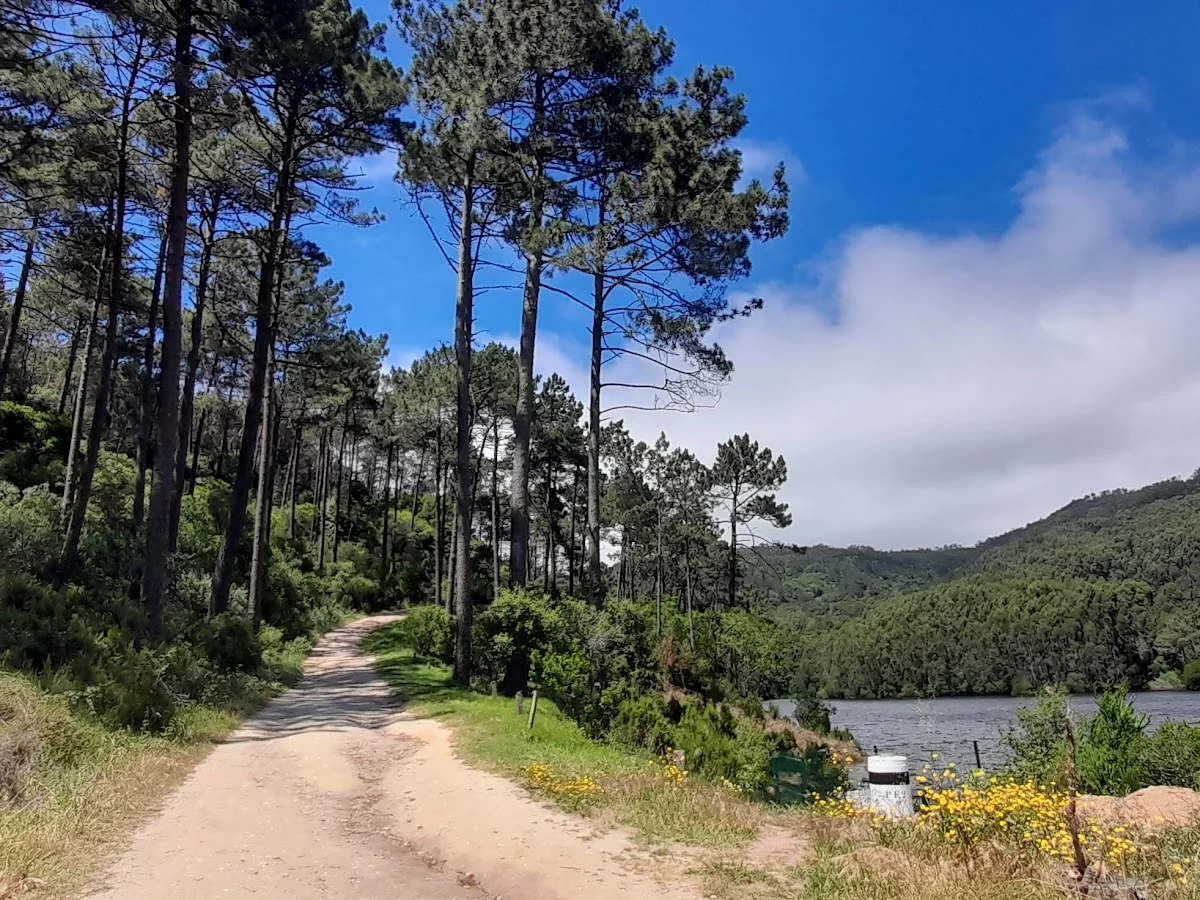
Barragem do Rio da Mula is a small reservoir tucked into the forested hi…
Boardwalk
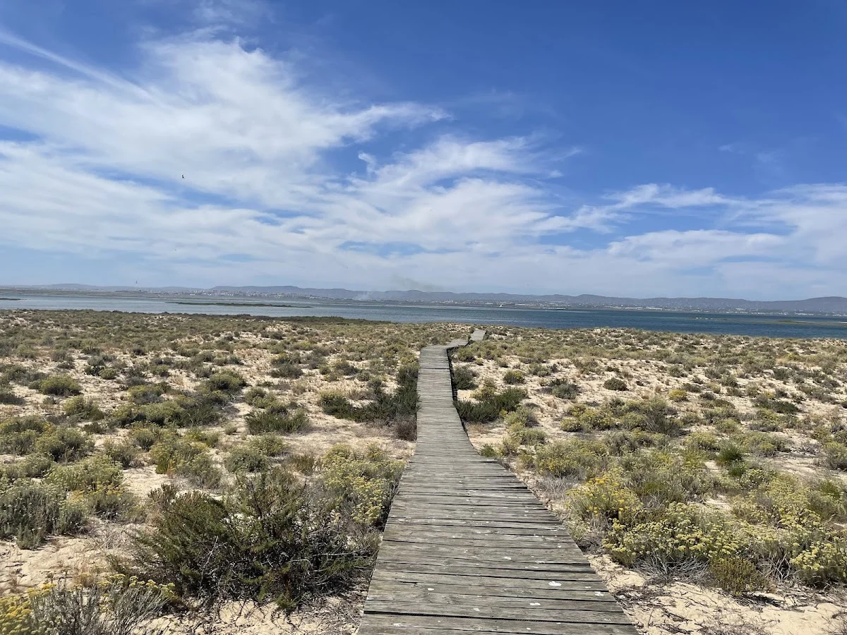
The Ria Formosa Boardwalk is a beautifully constructed wooden walkway th…