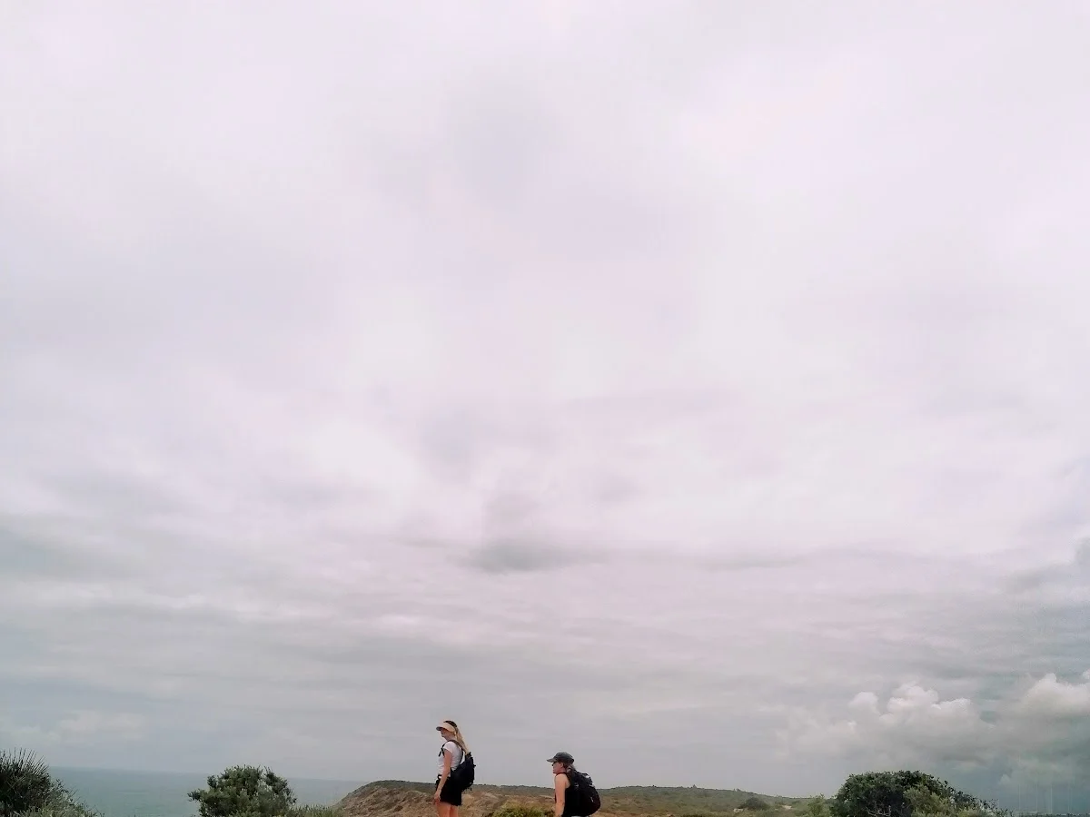
Fishermen's Trail (Luz-Lagos)
Luz, Lagos, Algarve
The Luz to Lagos section of the Fishermen's Trail (Trilho dos Pescadores) is widely considered one of the finest coastal hikes in Portugal, tracing the wild Vicentine Coast between the village of Praia da Luz and the historic town of Lagos. The trail hugs the cliff edge for virtually its entire length, rising and falling over headlands that offer ever-changing perspectives of the Atlantic. The sculpted sandstone formations — sea stacks, arches, grottoes and wave-cut platforms — are the work of millennia of wind and wave erosion, and each bend in the path reveals a new geological spectacle.
The absolute highlight of the route is Ponta da Piedade, a headland of extraordinary beauty where a cluster of golden rock pinnacles rises from the turquoise sea, with hidden grottoes and tunnels carved into the cliffs below. The trail passes directly above this wonder, and there are multiple viewpoints where walkers can pause and take in the scene. The historic Ponta da Piedade lighthouse adds a human touch to the otherwise raw natural landscape.
At 11 kilometres, the point-to-point walk takes roughly three to four hours at a comfortable pace, with ample time for photography and short detours down to the coves. The trail can be walked in either direction, but starting in Luz and finishing in Lagos has the advantage of ending in a lively town with excellent restaurants and train connections. Spring and autumn are ideal, when the wildflowers are out or the migratory birds are passing through, and the temperatures are mild.
Höhepunkte
- Abschnitt des berühmten Fischerpfads der Rota Vicentina
- Dramatische Klippen und wilde Atlantiklandschaften
- Einsame Strände und Buchten, die nur zu Fuß erreichbar sind
- Reiche Meeresvogelwelt, darunter Kormorane und Möwen
- Historische Fischersiedlungen und Leuchttürme auf dem Weg
- Fantastische Fotomotive entlang der gesamten Strecke
Besonderheiten
Weitere wandern in Portugal
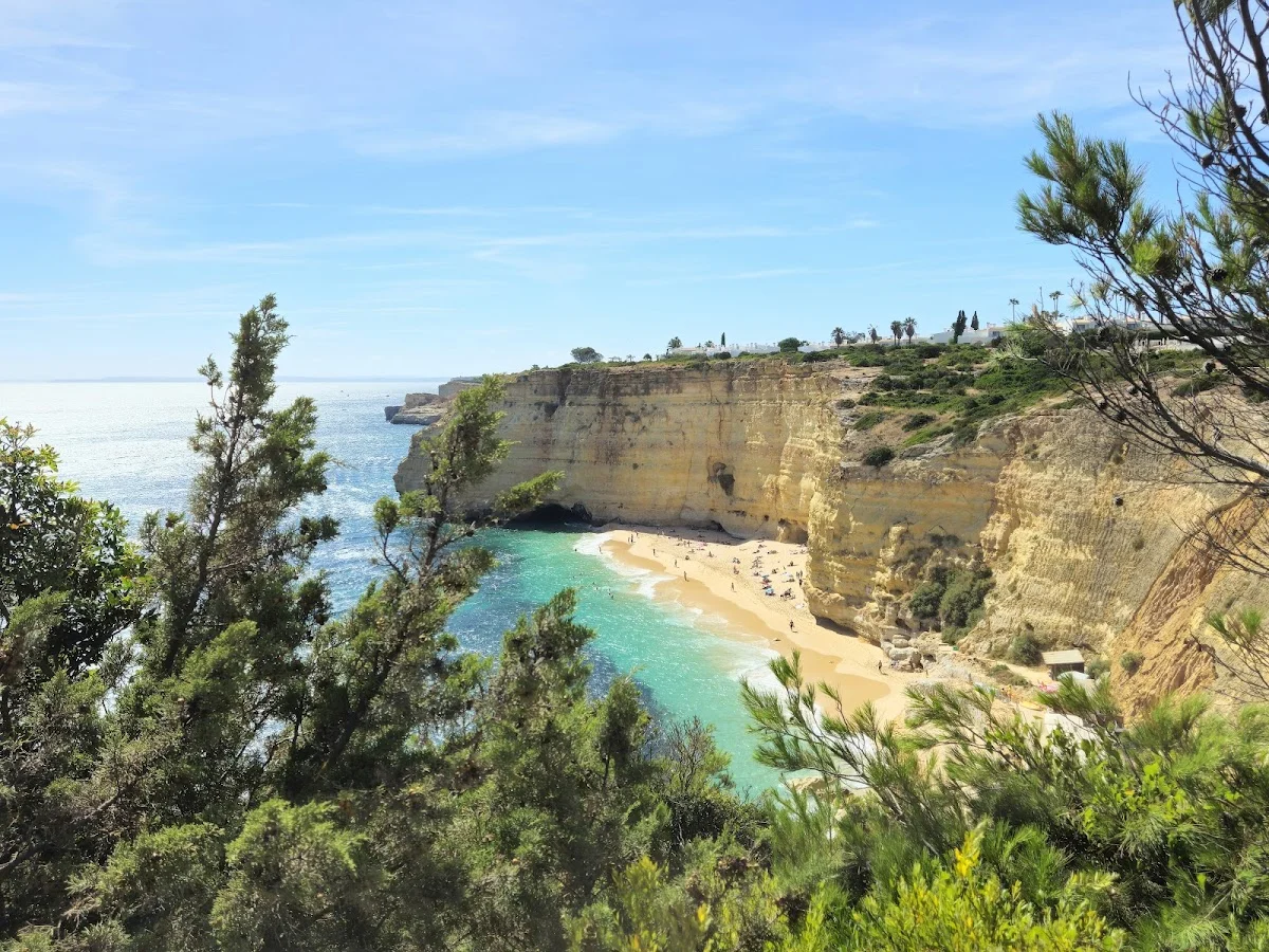
7 Valleys Hike
The 7 Valleys Hike is the Algarve's quintessential coastal walking exper…
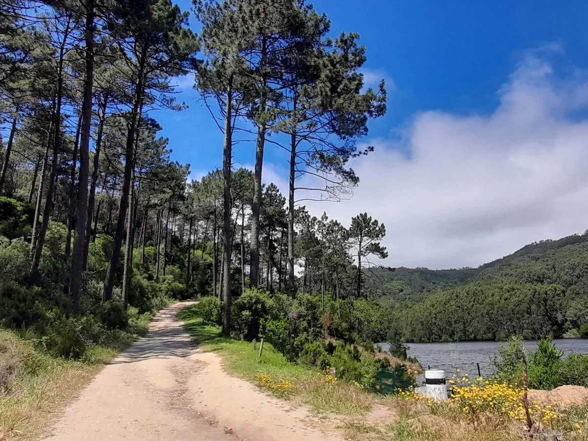
Barragem do Rio da Mula
Barragem do Rio da Mula is a small reservoir tucked into the forested hi…
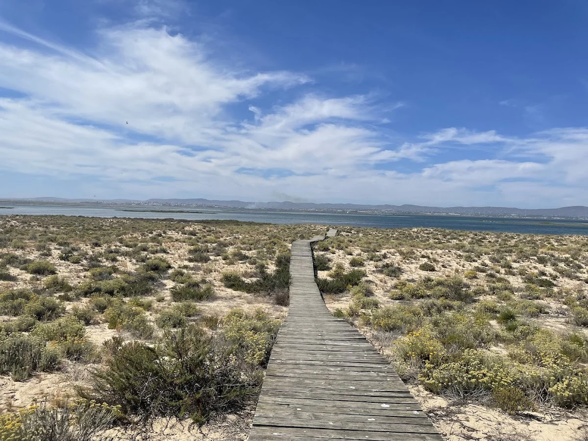
Boardwalk
The Ria Formosa Boardwalk is a beautifully constructed wooden walkway th…